
Next Flight Destination: Image Processing
Welcome to the third part of our X-PAD Fusion Bootcamp. After getting introduced to surveys with TPS/GNSS and scanners, the time has come to fly up in the air and discover Image processing by using Aerial Photogrammetry tools.
In this webinar, you'll be guided step-by-step through the X-PHOTO modules using data captured with a standard drone, reflex and smartphone camera.
Our Product Experts will take you through the different processes for capturing, importing, visualizing, and managing your photogrammetry data, always showing in detail all the equipment and setups that have been used.
You will learn:
- How to load captured pictures including all parameters like Ground Control Points , and navigation data
- How to use ground control points
- How to generate point clouds, ortophotos and other outputs from drone and terrestrial images
During the entire webinar, you will have the opportunity to ask questions in the chat. At the end of the webinar, our experts will answer them in the Q&A session.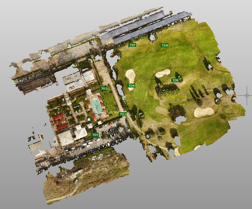
Register to the webinar and invest time in yourself and your skills to make your work life more efficient and pleasant.